Death Valley NP (2022)
Yosemite NP (2022)
Zion NP (2021)
Antelope Canyon (again)
Banff (2021)
Antelope Canyon
Monument Valley
Black Canyon of the Gunnison NP
Grand Canyon NP
Mammoth Cave NP
Glacier NP
Utah parks
Devils Postpile
Banff (2019)
Zion NP (2018)
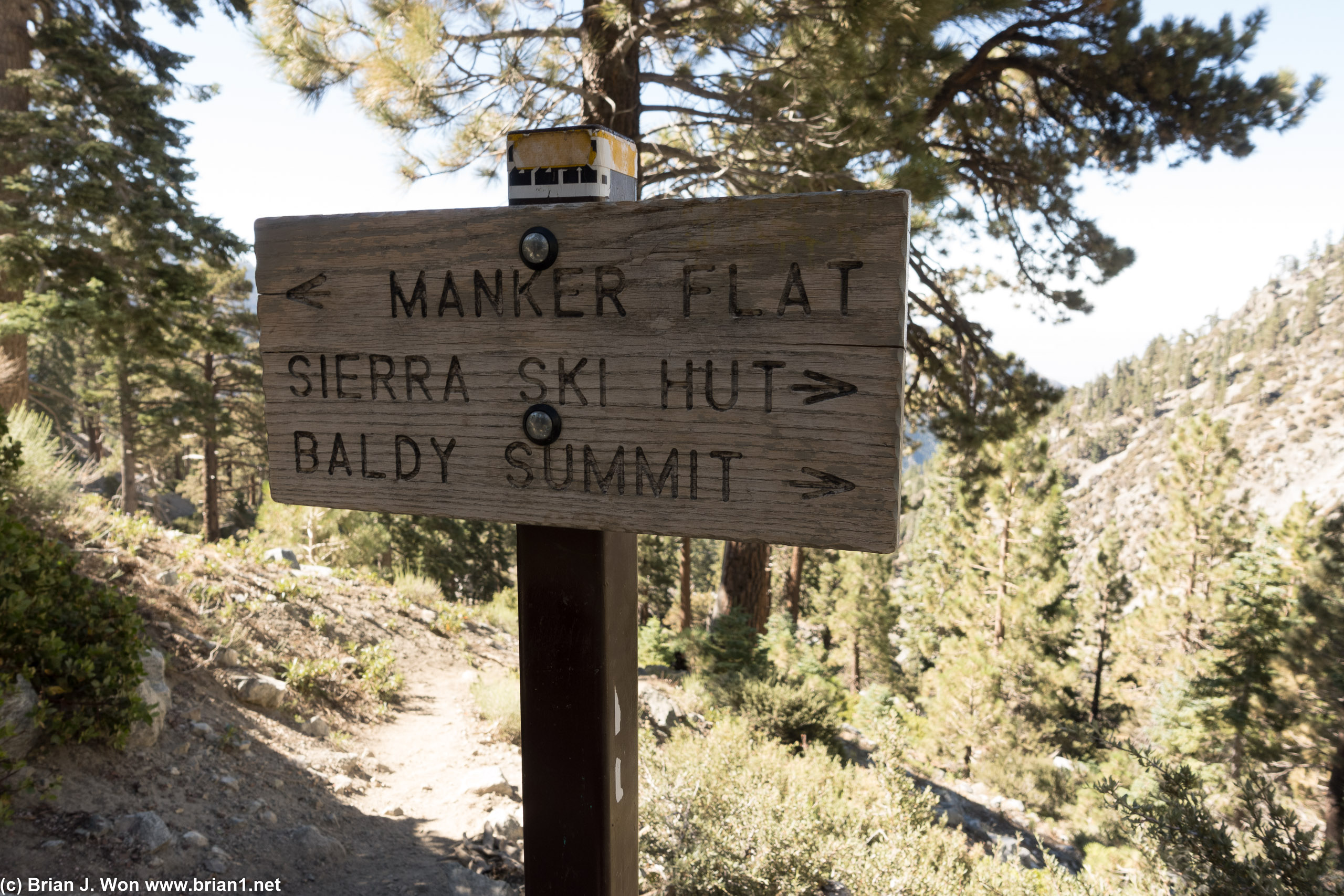
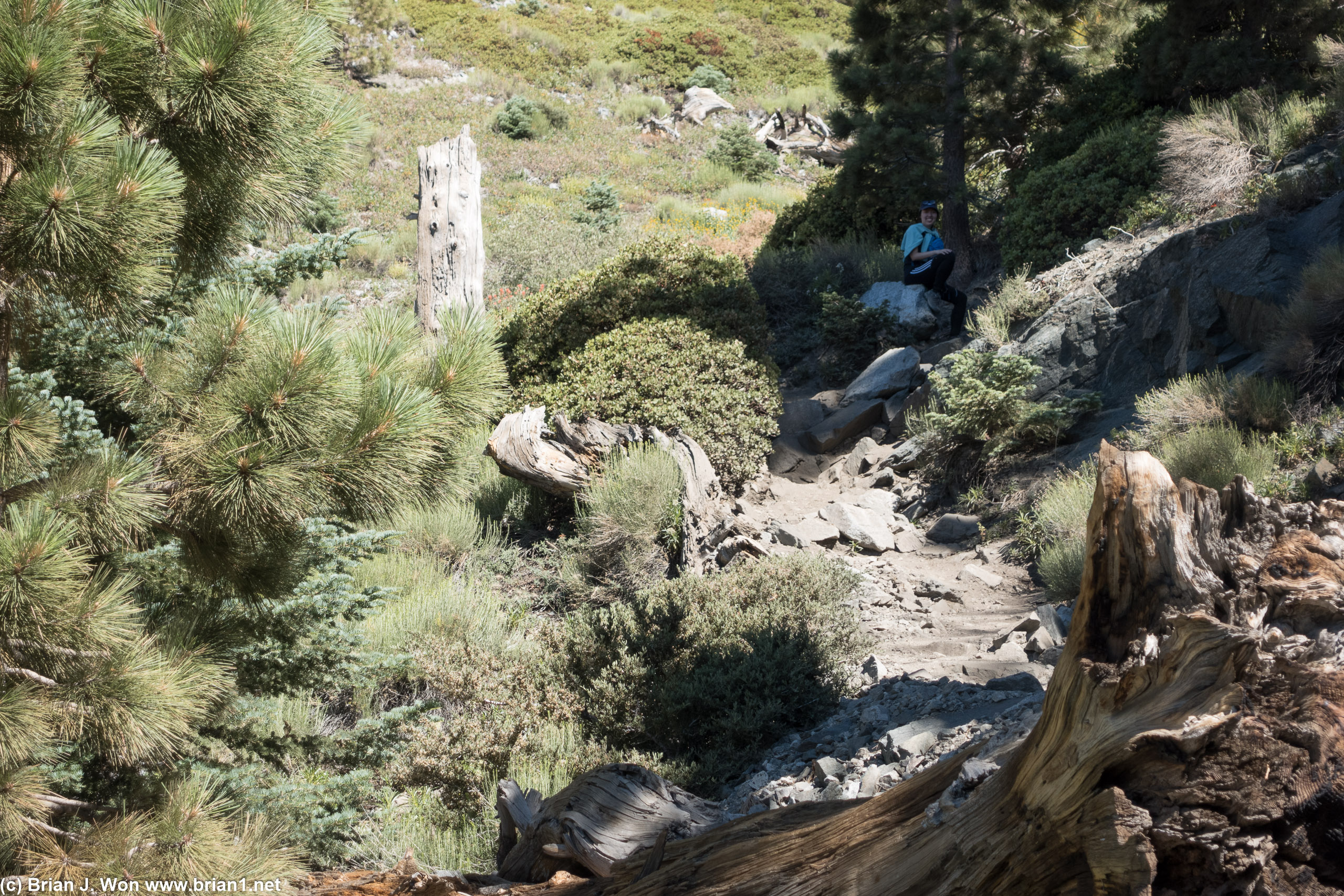
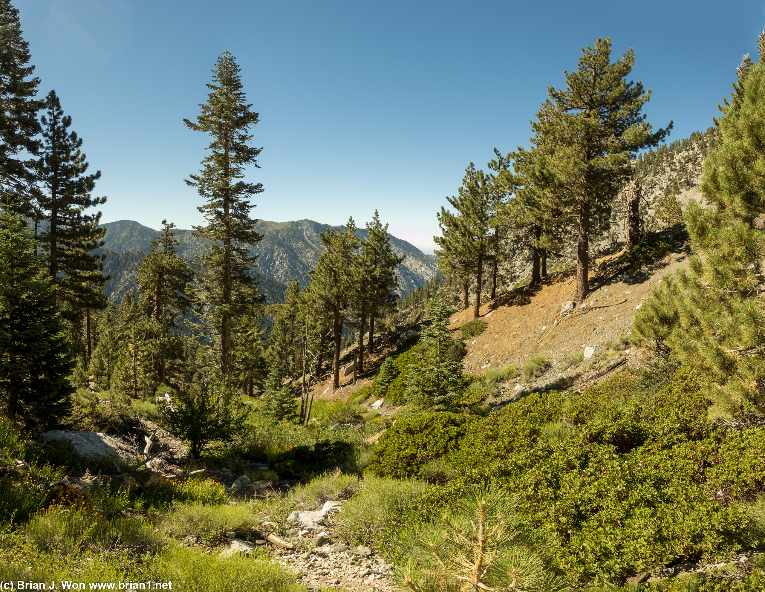
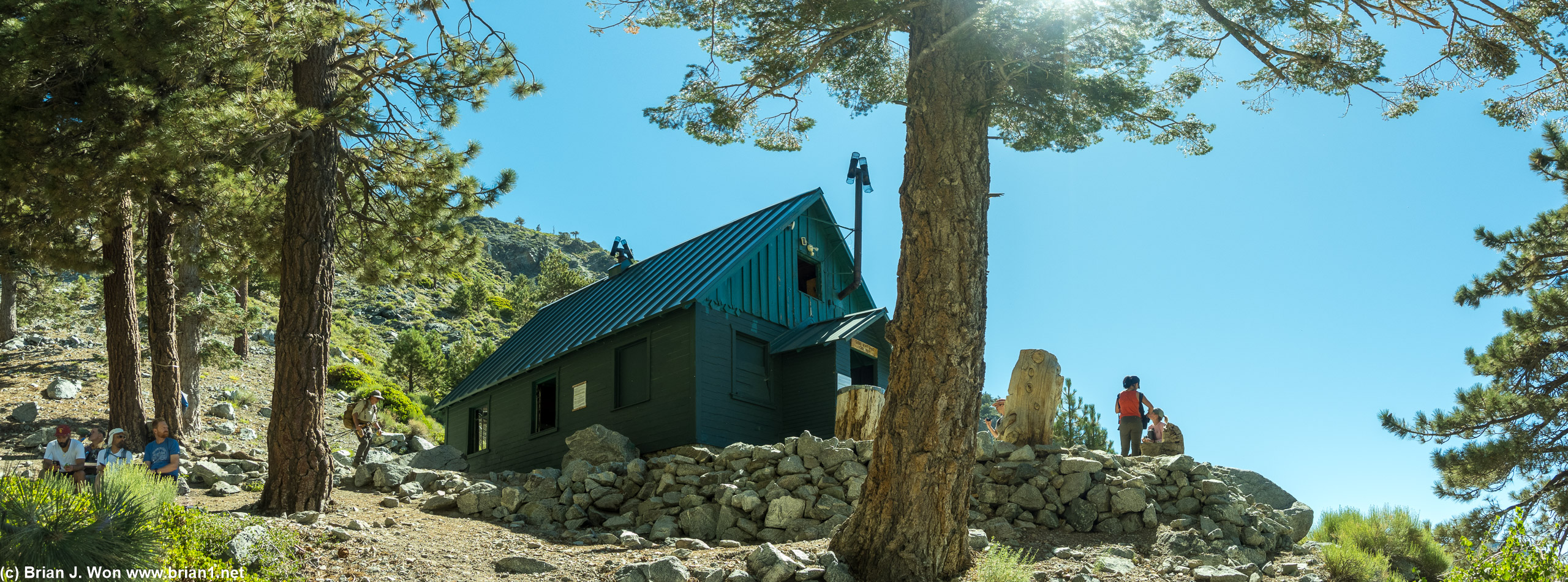
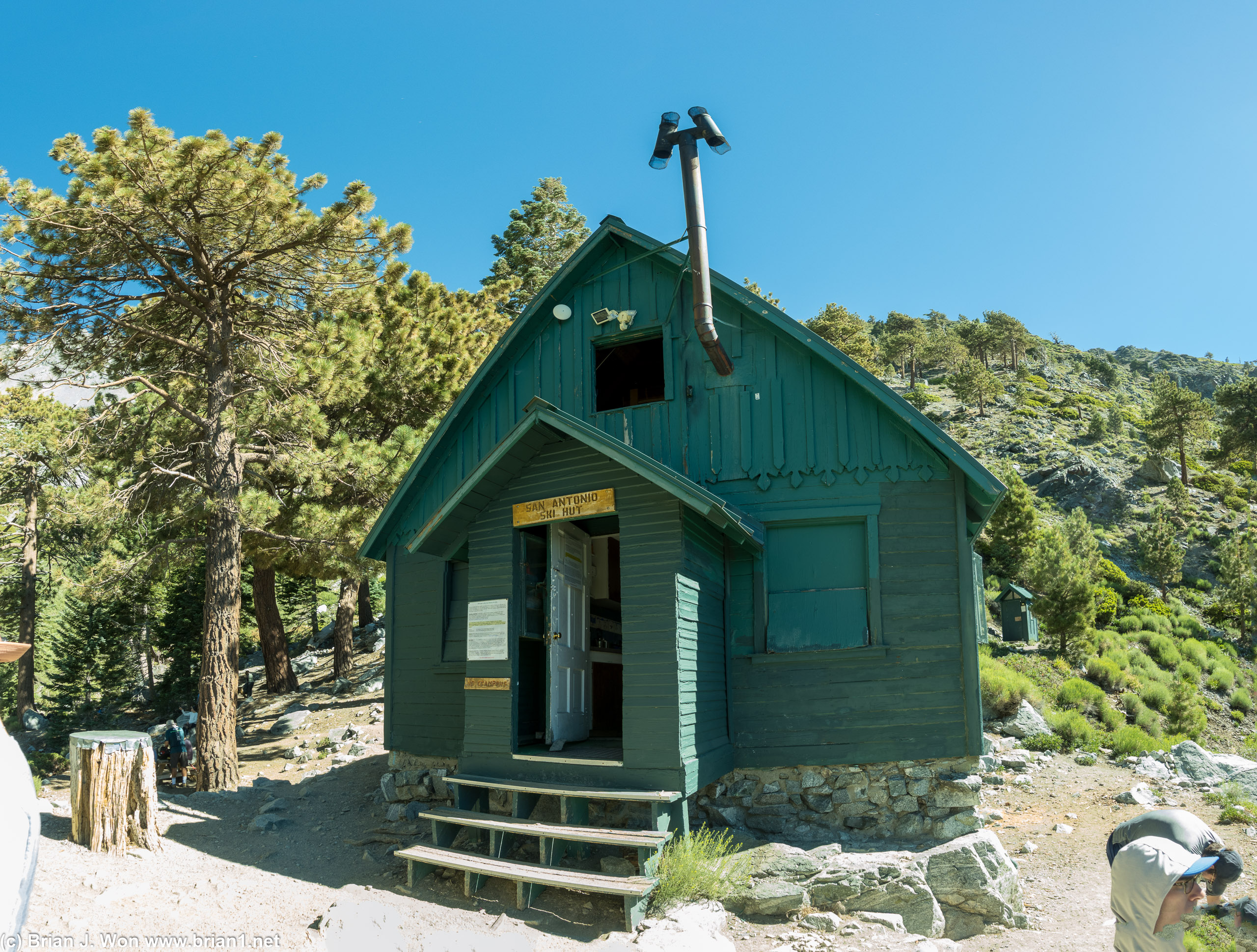
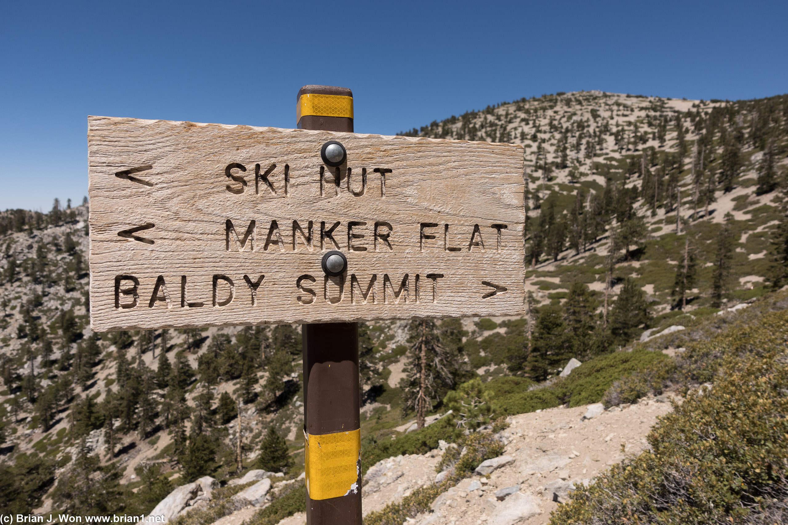
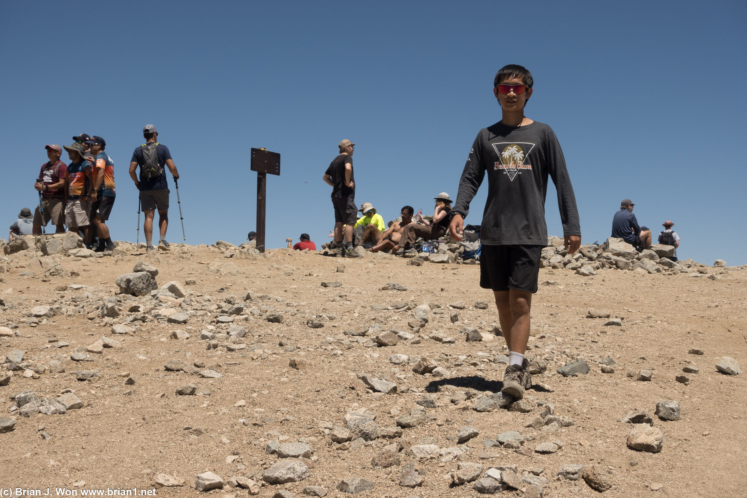
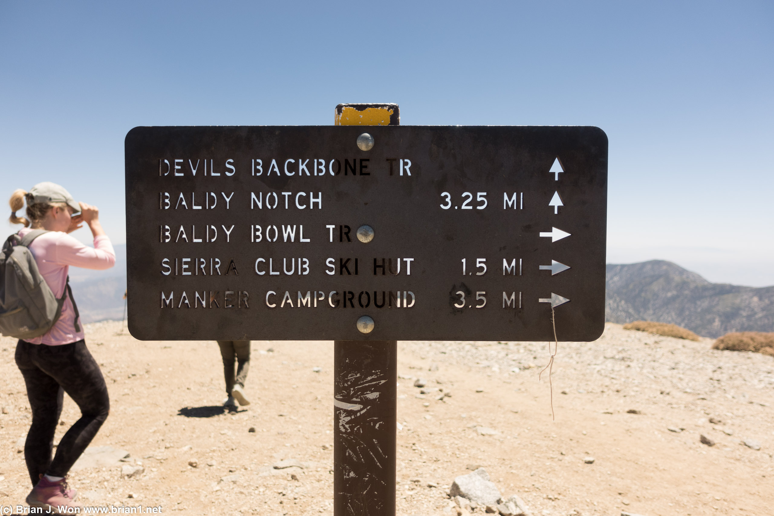
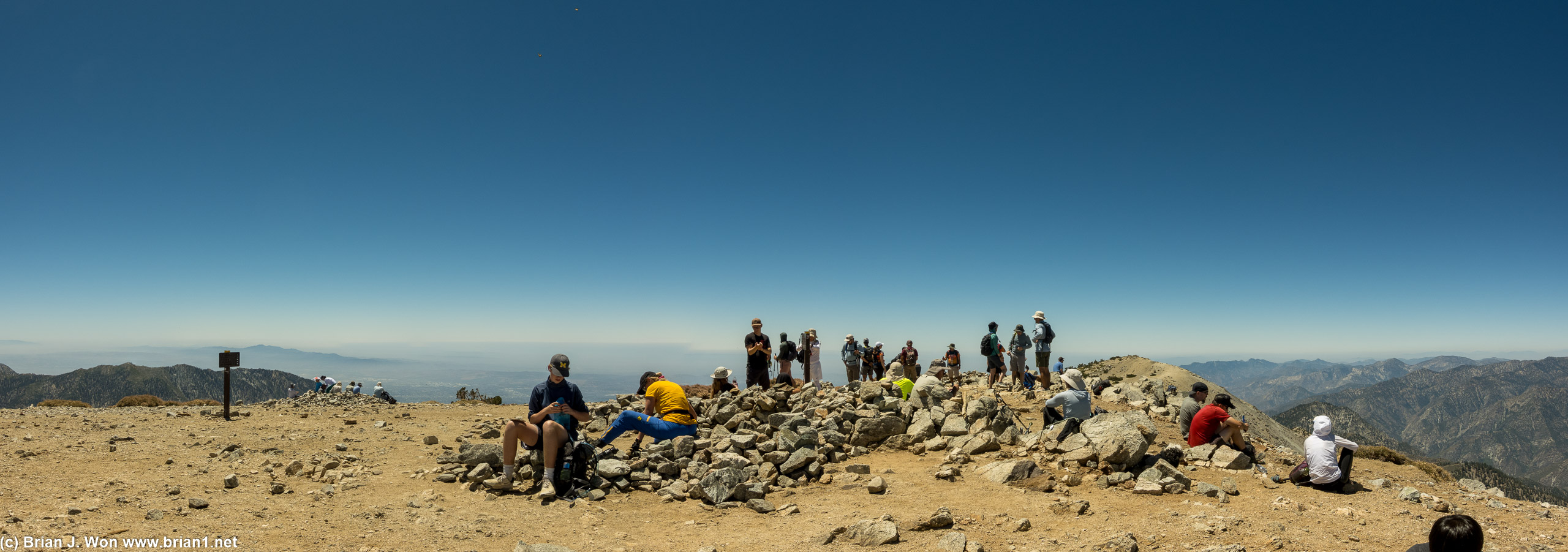
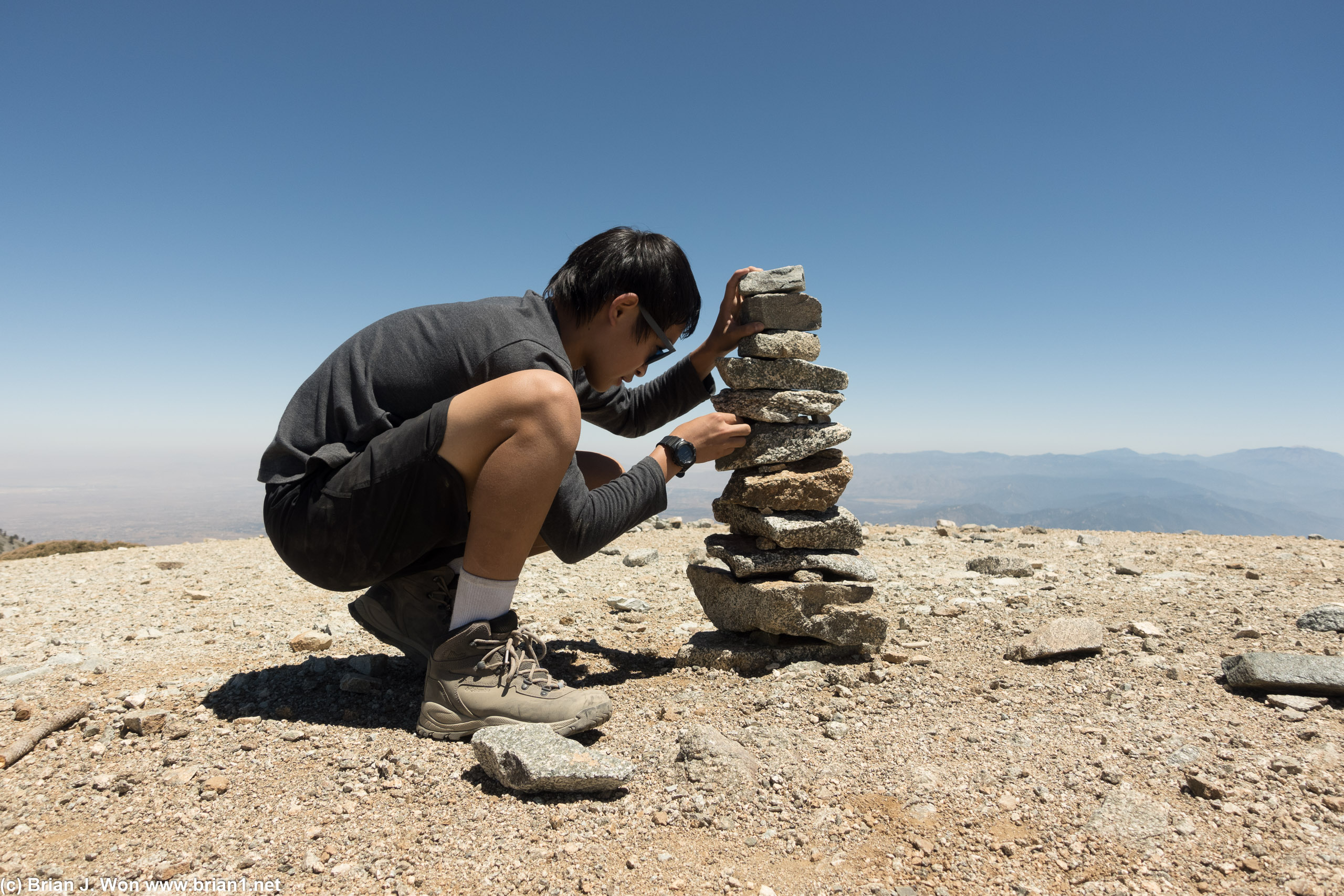
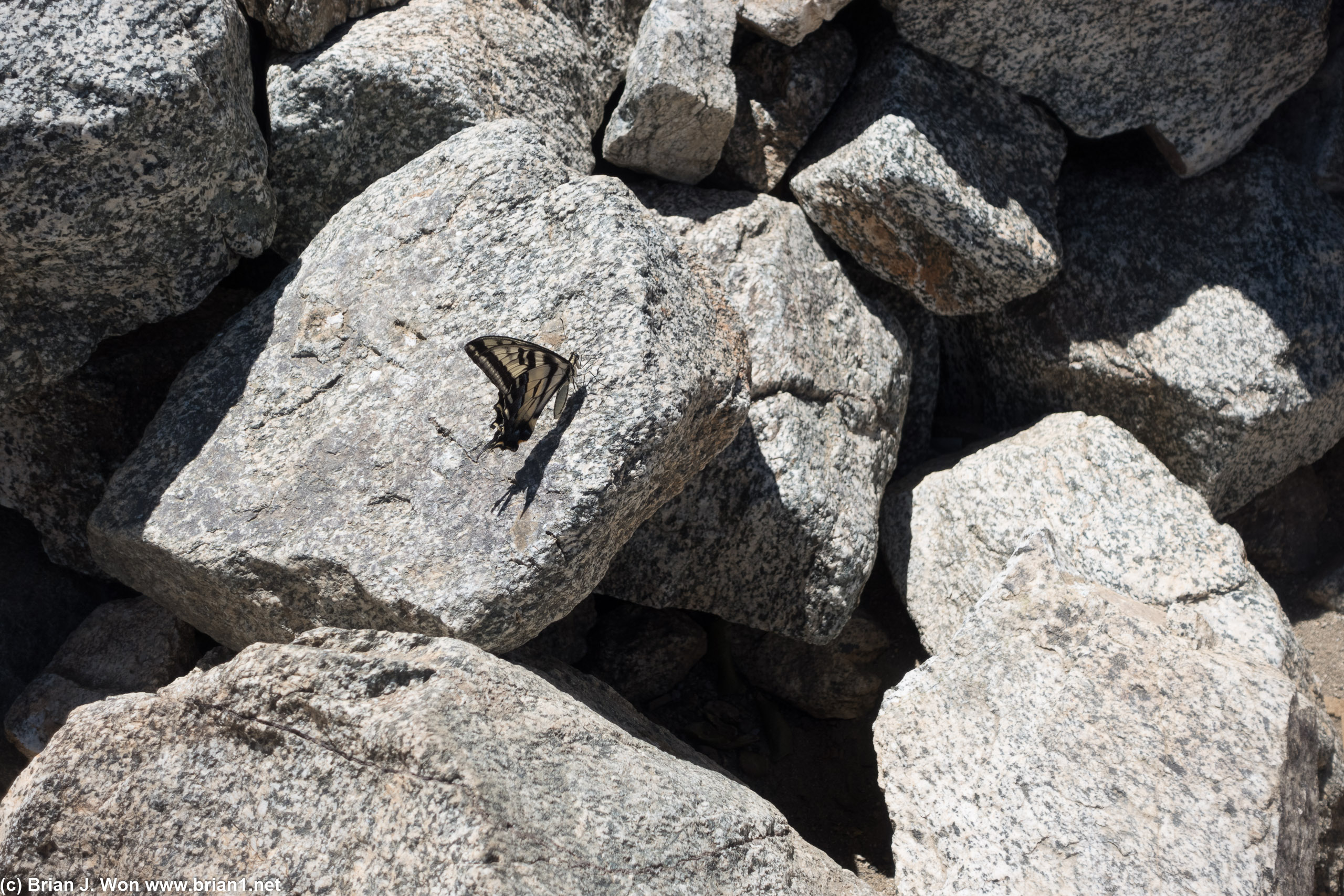
Mt. Baldy, take 6
PCT - Piute Mountains
Grouse Mountain
Death Valley NP (2018)
PCT - San Gorgonio
PCT - Mojave
PCT - San Jacinto
Mt. Kilimanjaro
Mt. Whitney
Mt. Baldy, take 5
Temescal Canyon, tk6
Mt. Baldy, take 4
Mt. Baldy, take 3
Hollywood sign
Temescal Canyon, tk5
Topanga Canyon
Temescal/Will Rogers
Temescal Canyon, tk4
Parker Mesa, take 2
Del Cerro Park
Malaga Cove
Sandstone Peak
Temescal Canyon, tk 3
Mt. Baldy, take 2
Temescal Canyon/Skull Rock
Parker Mesa Overlook
Mt. Baden-Powell
Devil's Chair
Yosemite NP (2007)
Smith Mountain
San Gabriel Peak
Mt. Lassen
San Gorgonio
Calabasas Peak
Mt. Wilson
Temescal Canyon
San Jacinto
Strawberry Peak
Mt. Baldy
Millard Falls
Strawberry Meadow
Kings Canyon
Ojai, CA
Mt. Baldy
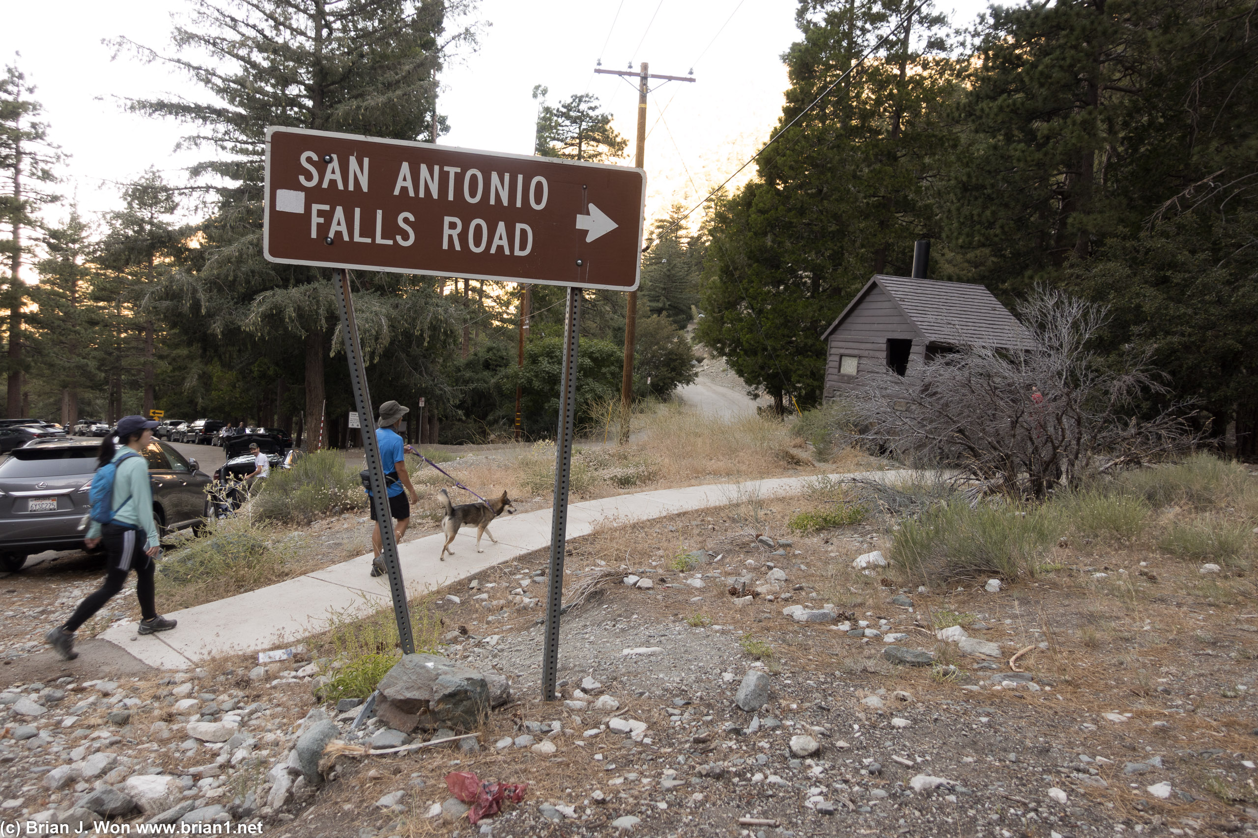


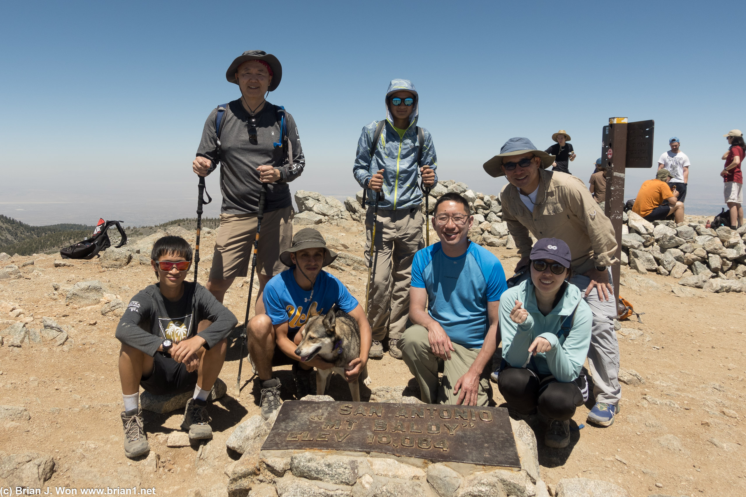
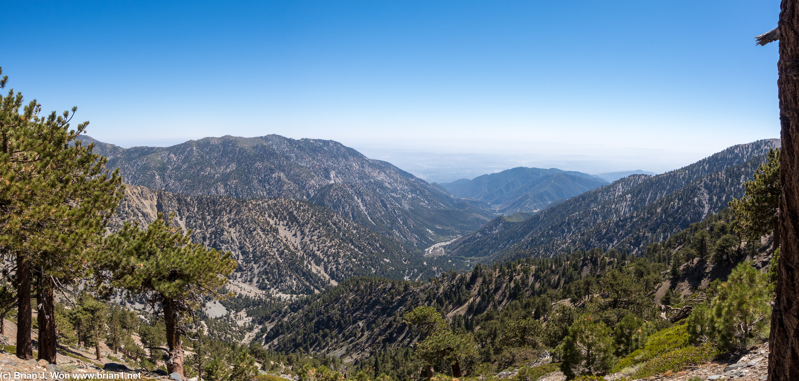
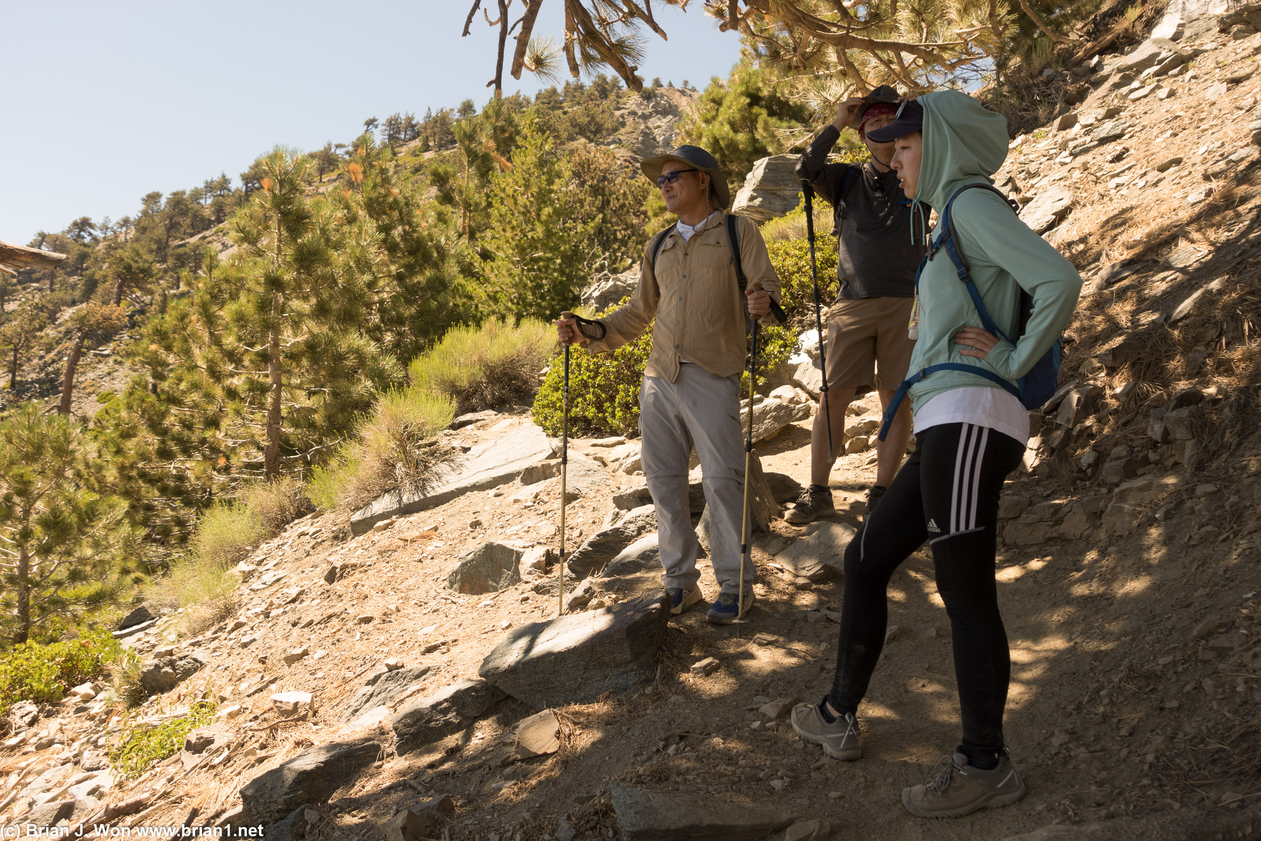
7th trip to Mt. Baldy, not all of them with SSCERT-- but probably most of them? Turns out it'd been 5 years since the last trip. Pluses today: air not filled with smoke, weather was great. Minuses: now five years older, in worse shape due to injury/COVID-19/age.
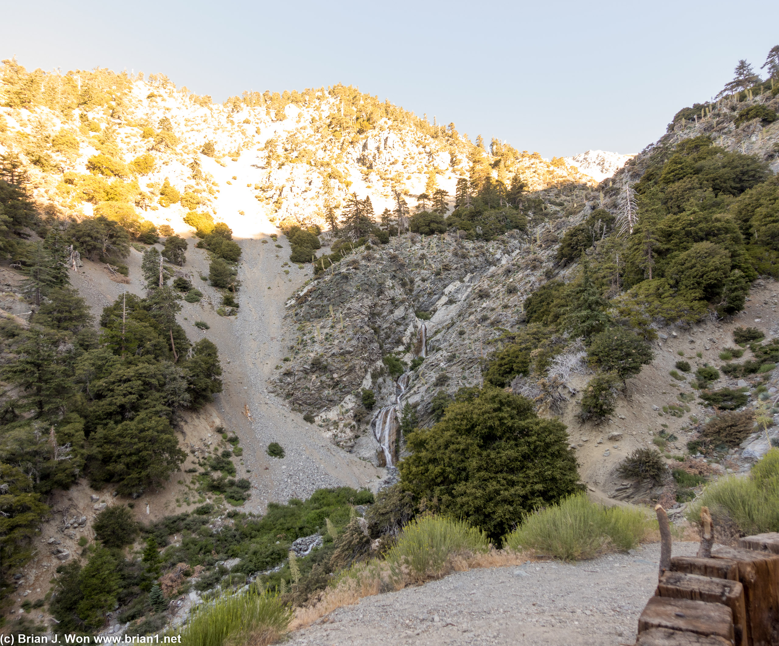
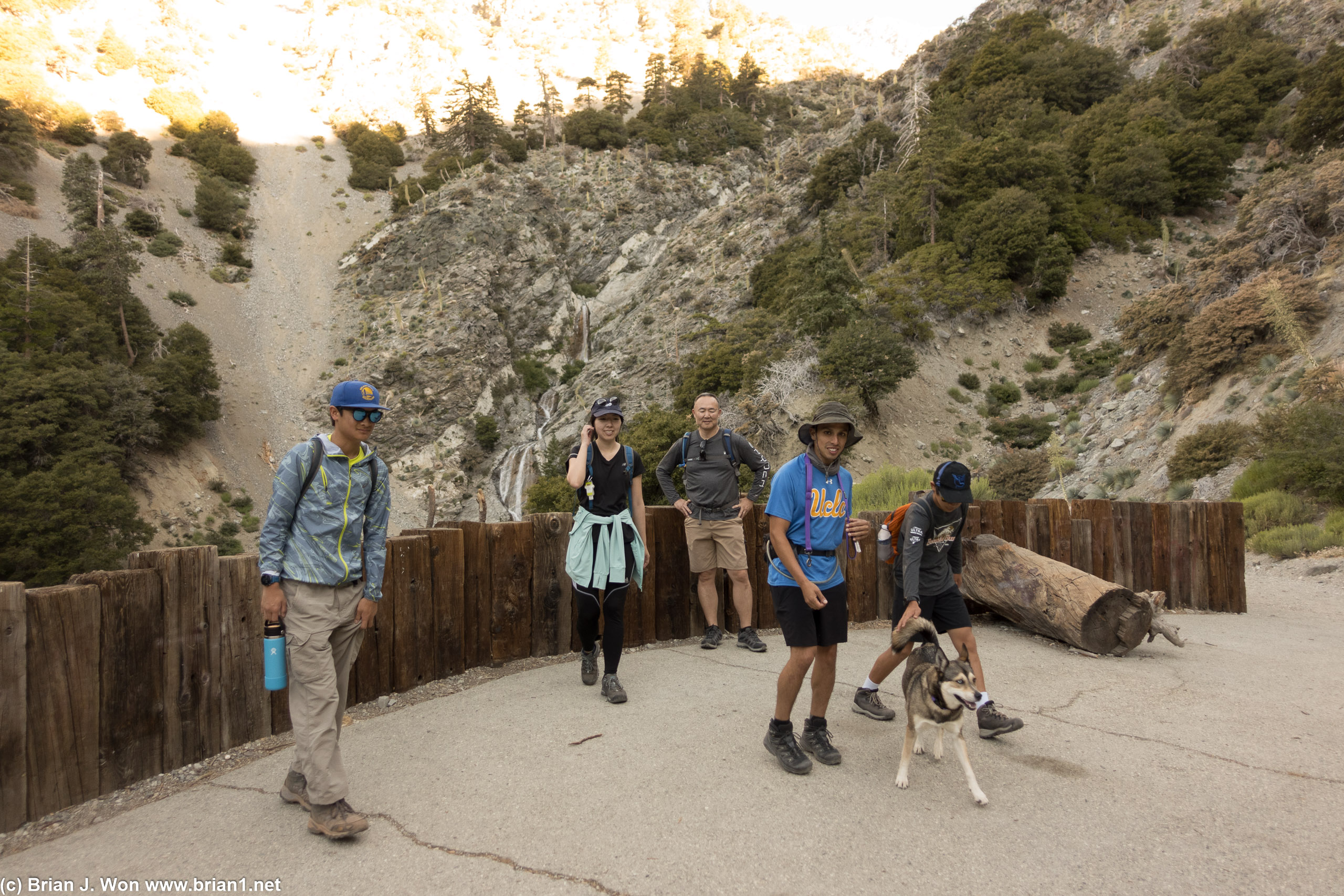
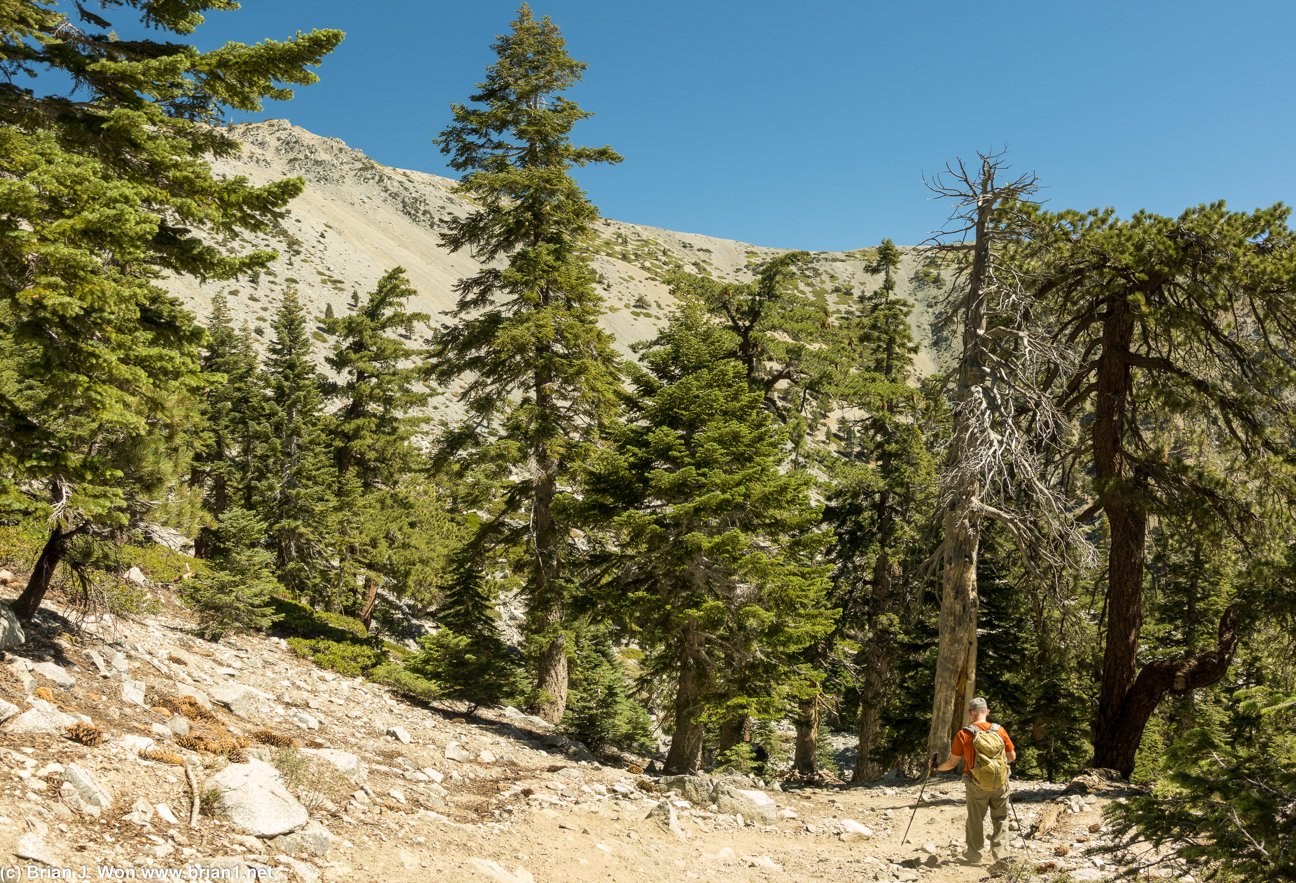
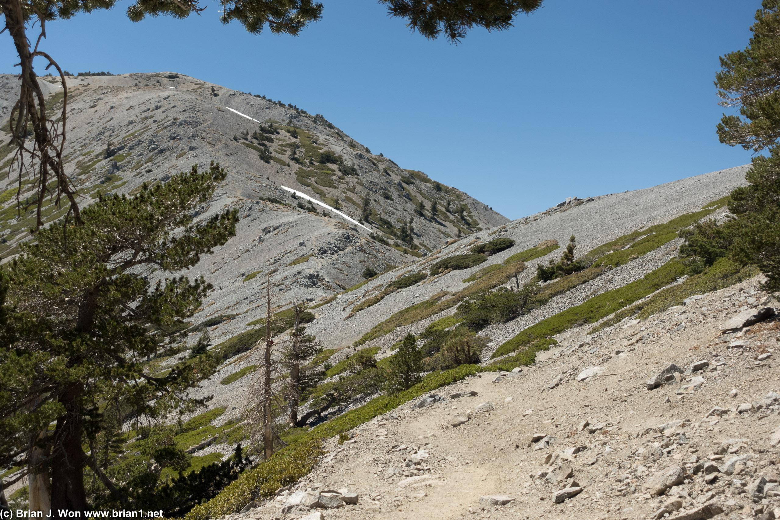
The younger crowd-- Hugo, Joy, AJ, and BK-- kicked the older groups' butt to the Sierra Club Ski Hut. GPS showed ~2.5 miles, just over 2000 feet elevation gain, and 1:40 (hours:minutes) moving time to ski hut. Step enough to hurt, but mostly good shade and the trail remains overall in great condition. San Antonio Falls is not great even in a year with record-setting snowfall, but the trickles of water at and below the ski hut were flowing pretty good. The signs to Baldy Bowl Trail 0.3 miles past the waterfall were also easy to spot as well.
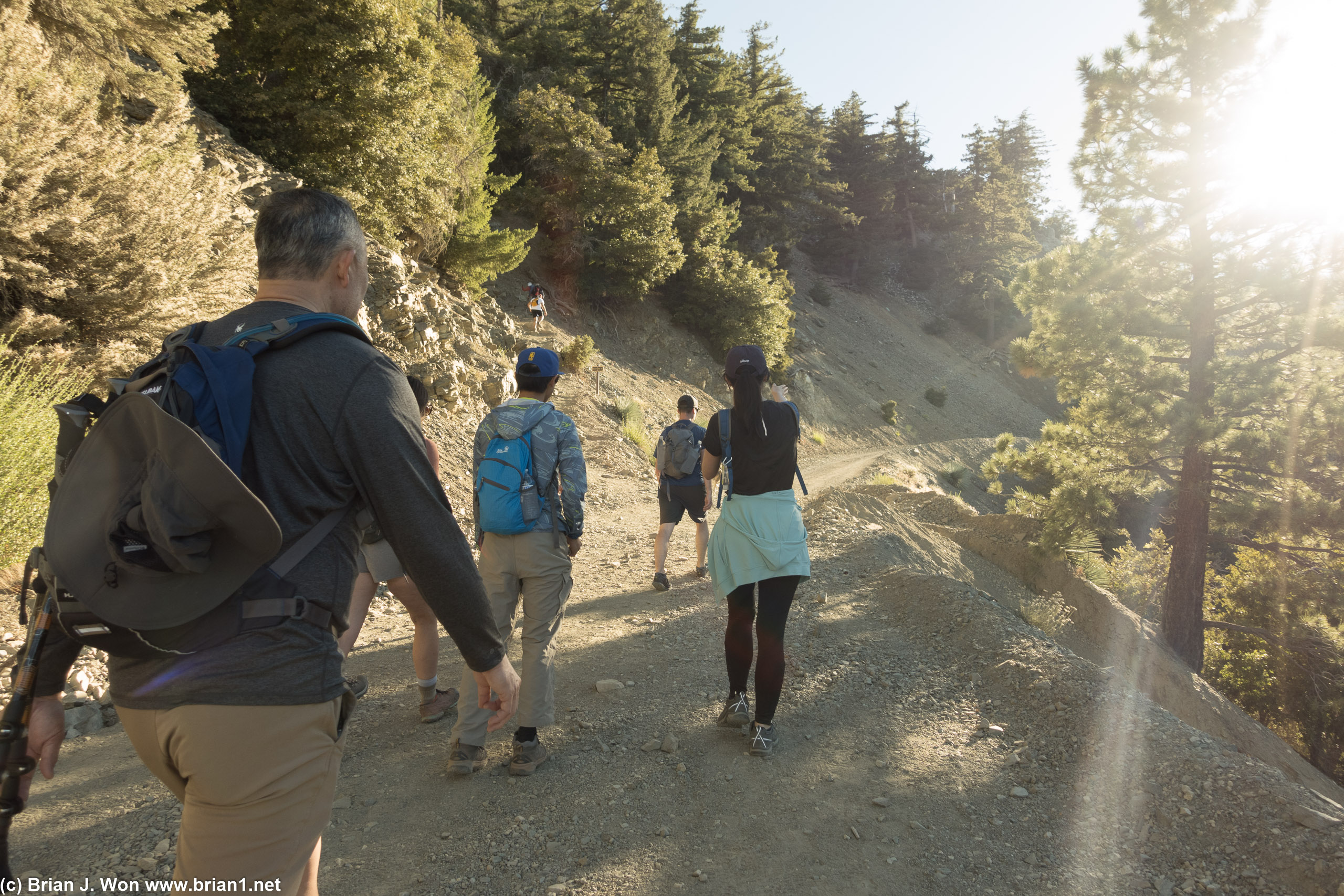
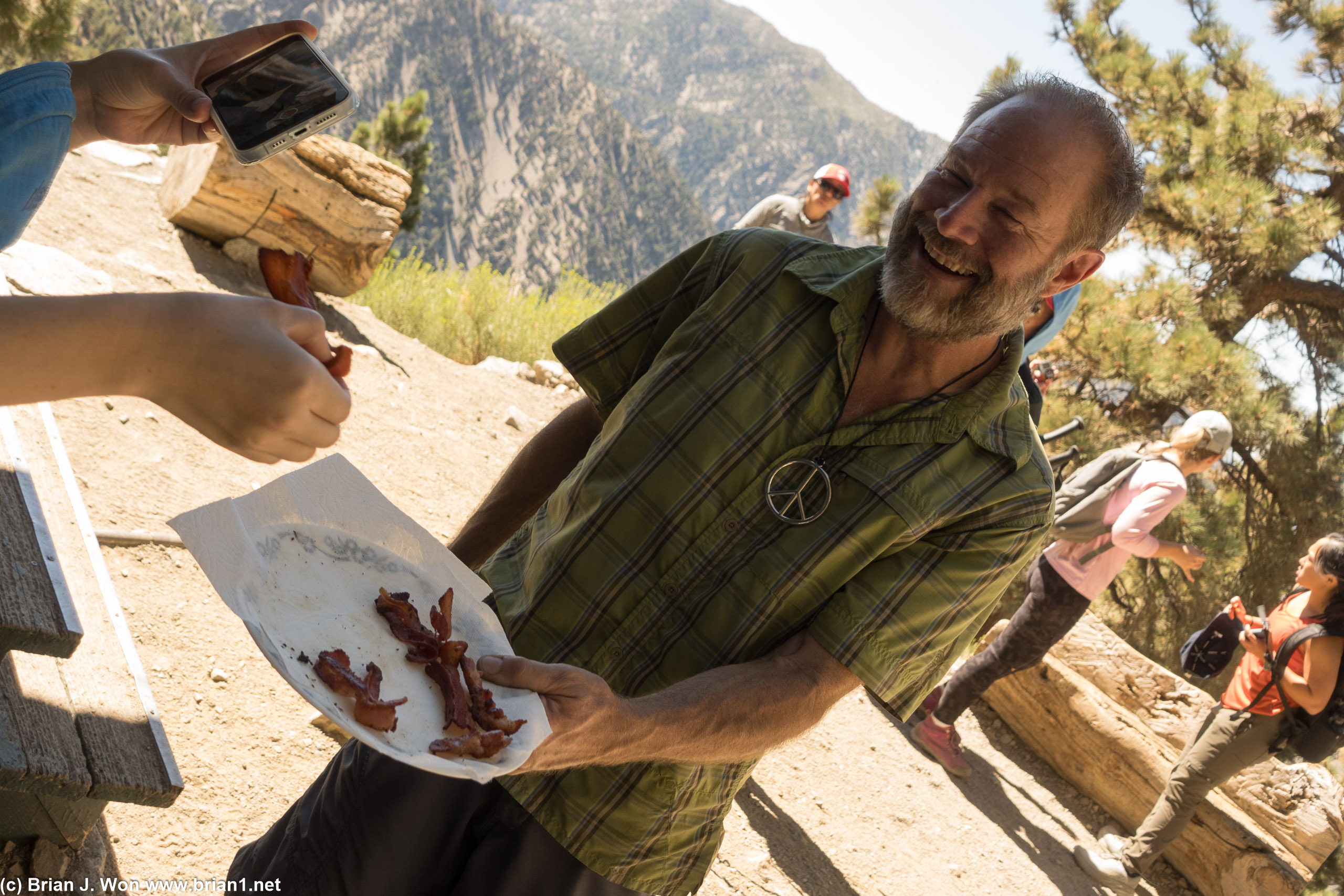
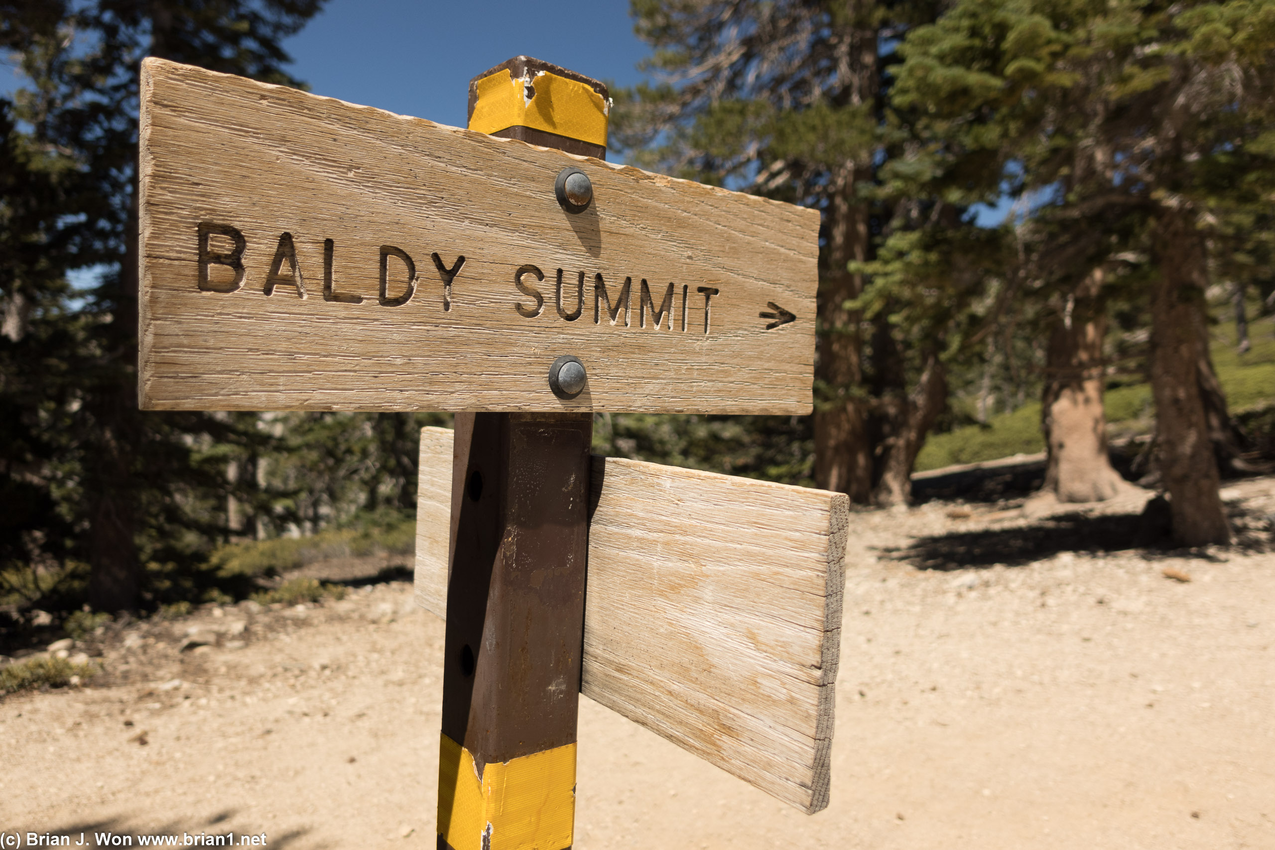
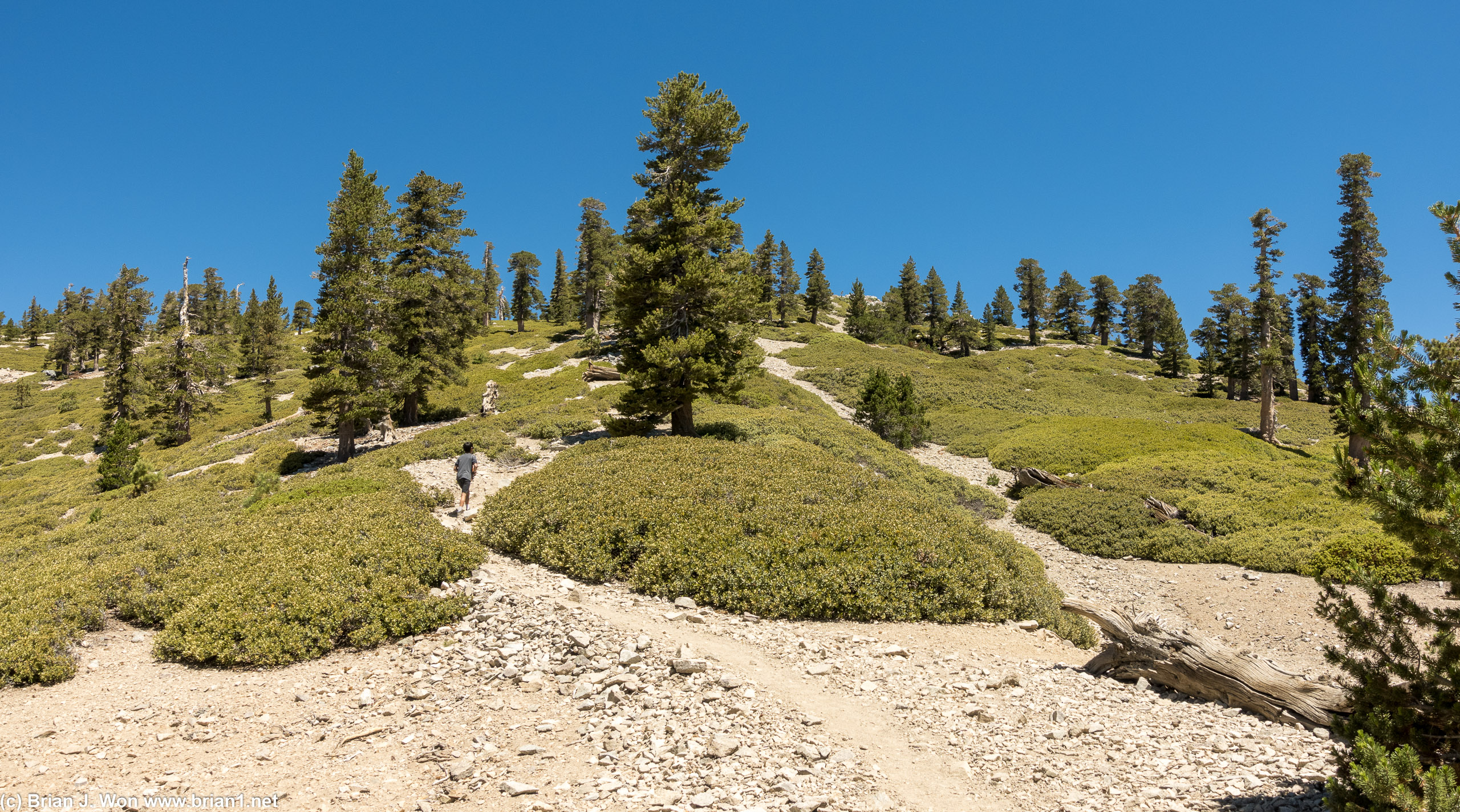
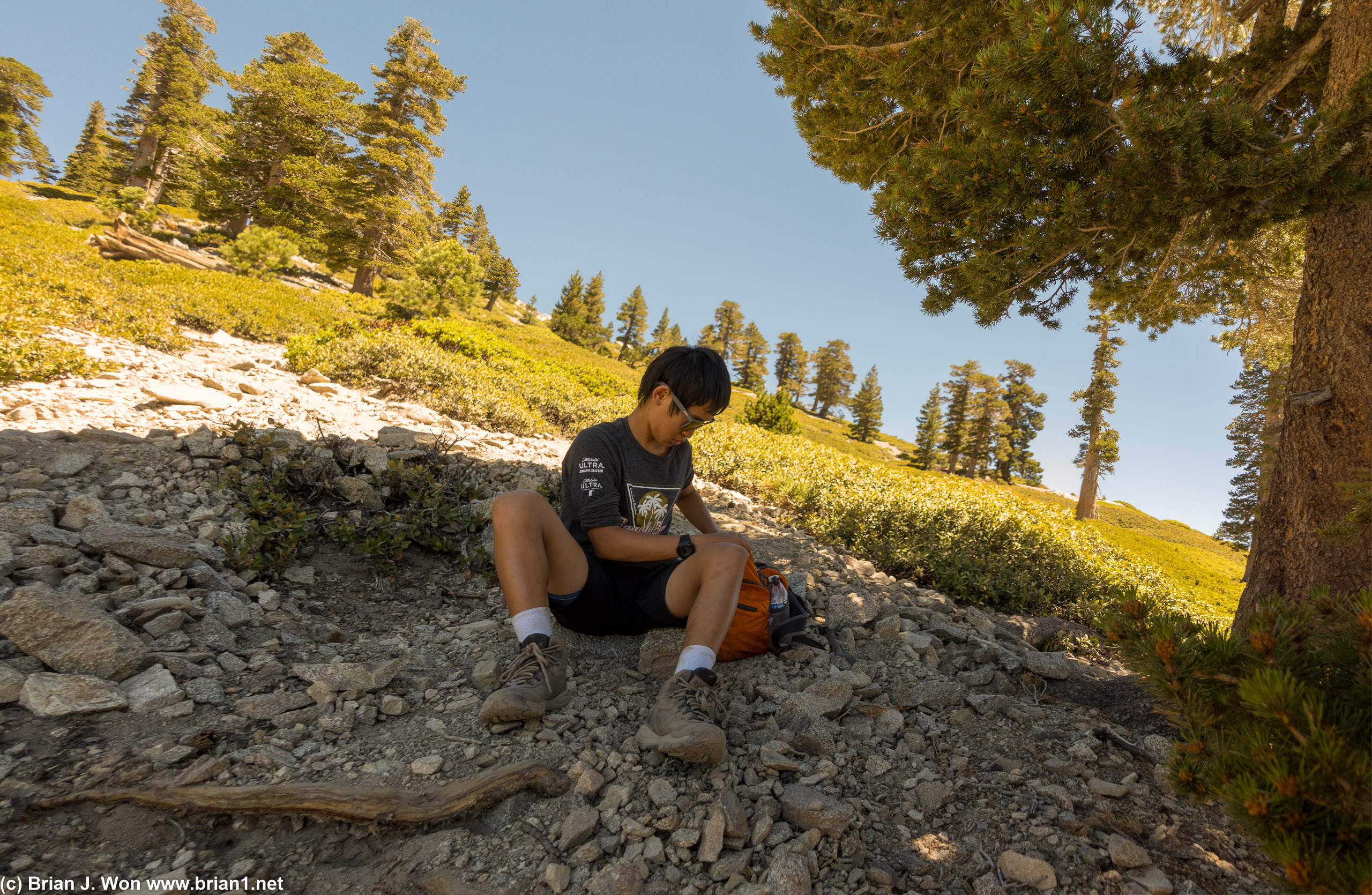
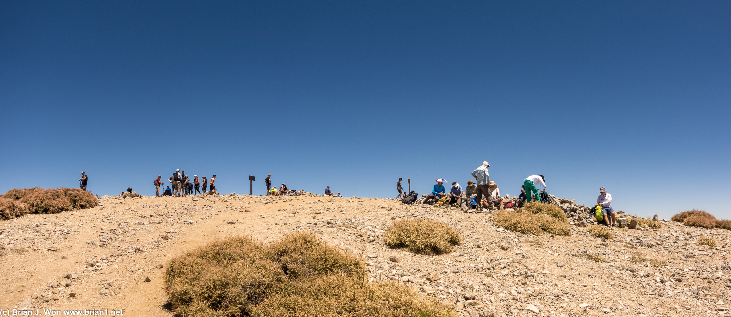
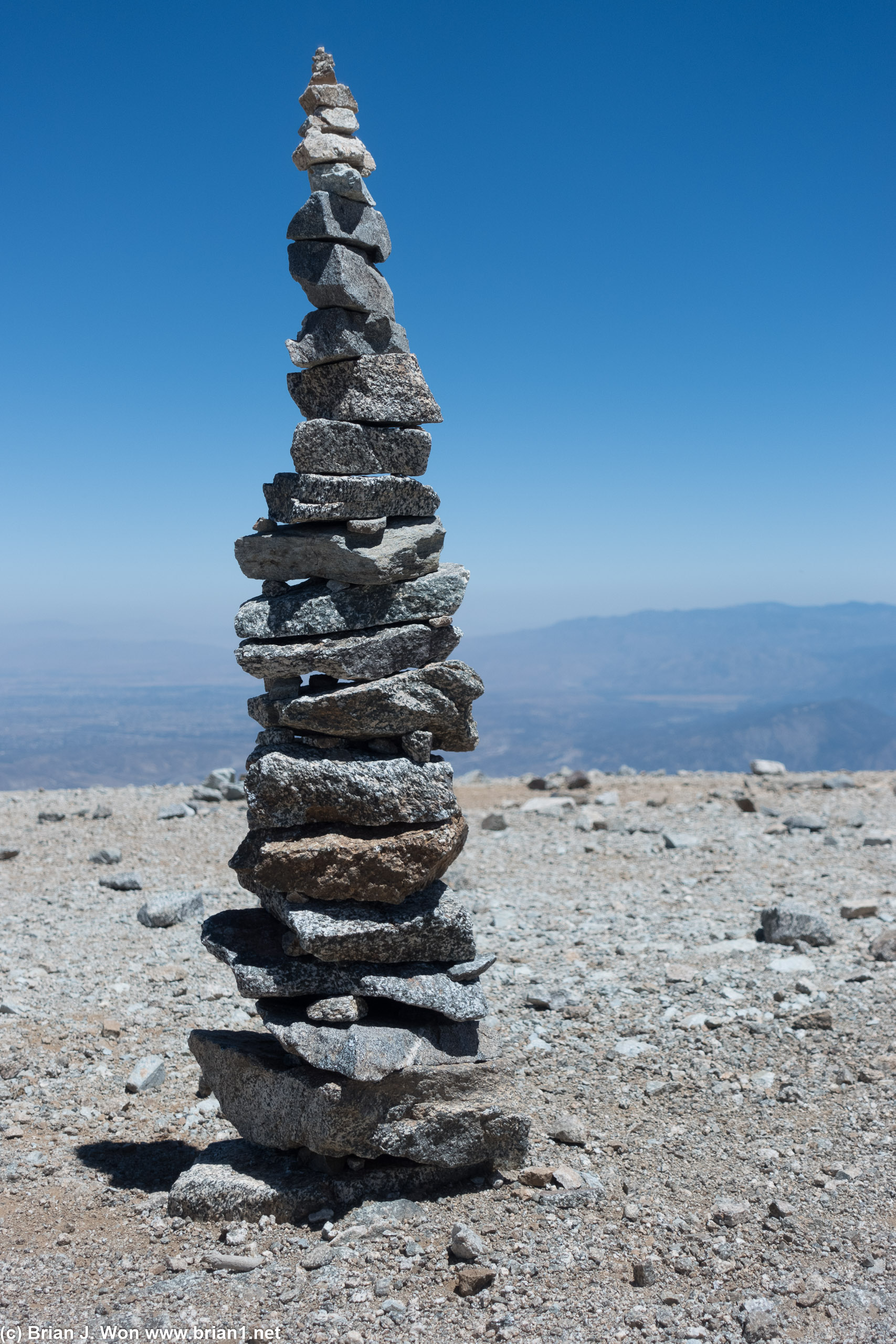
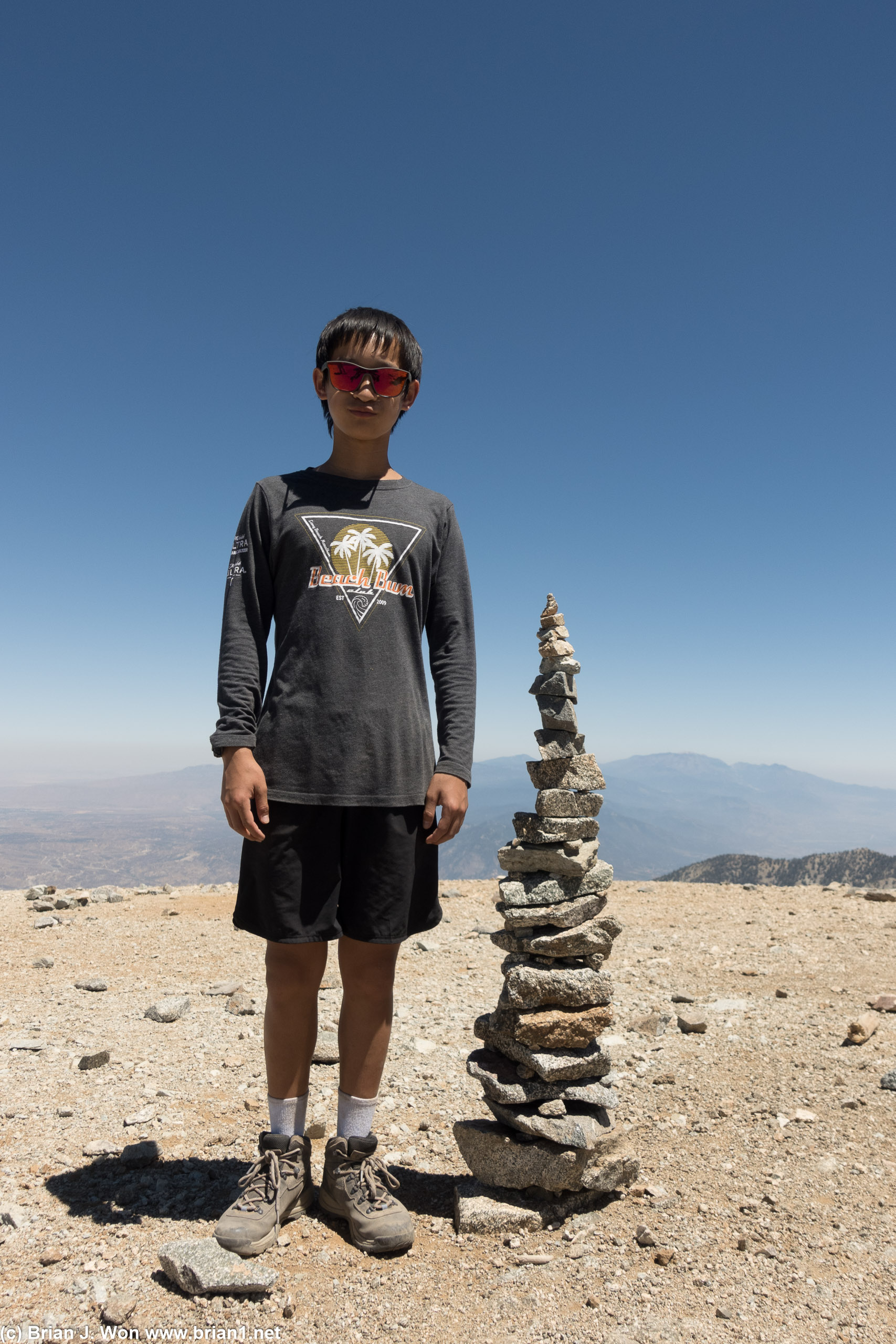
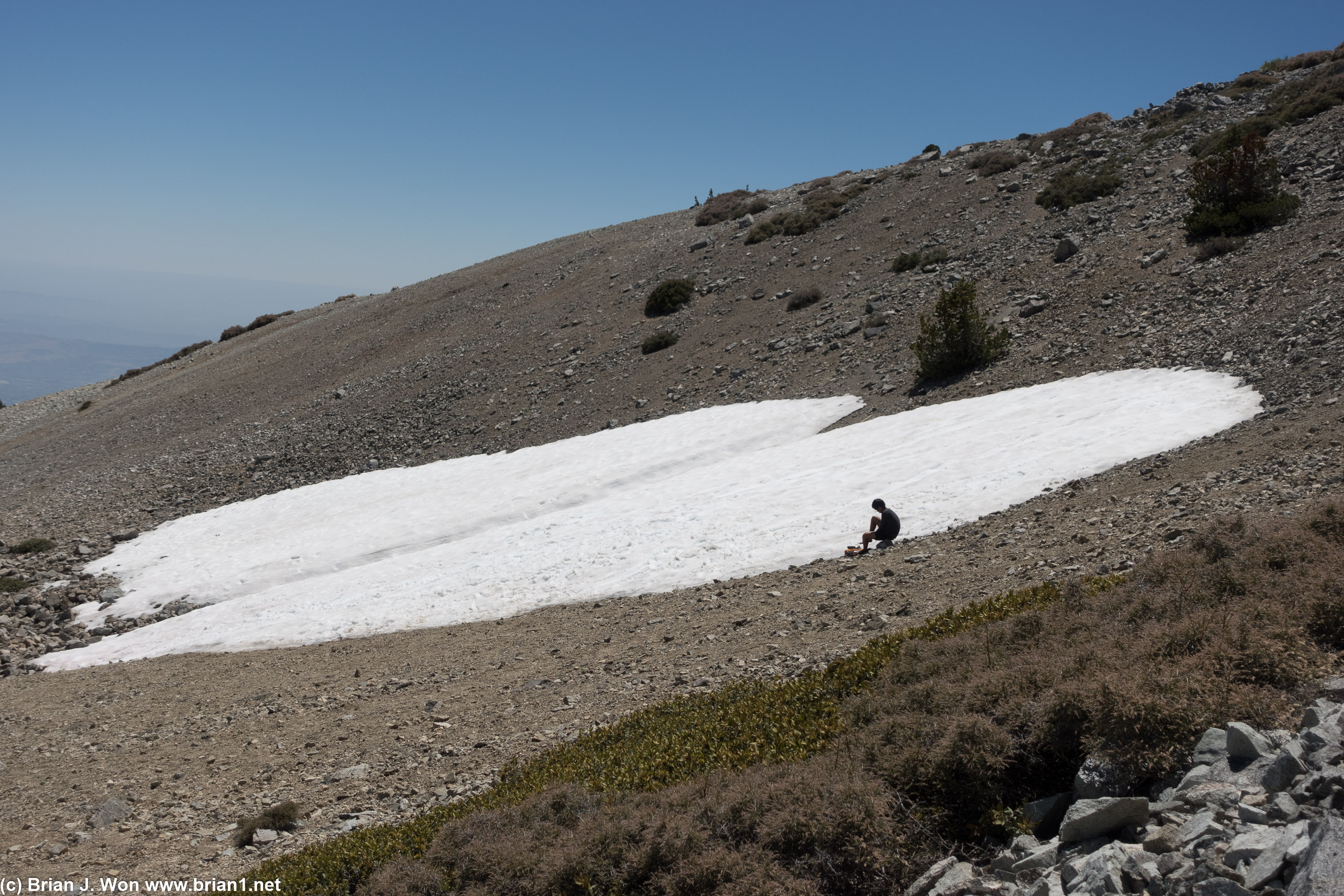
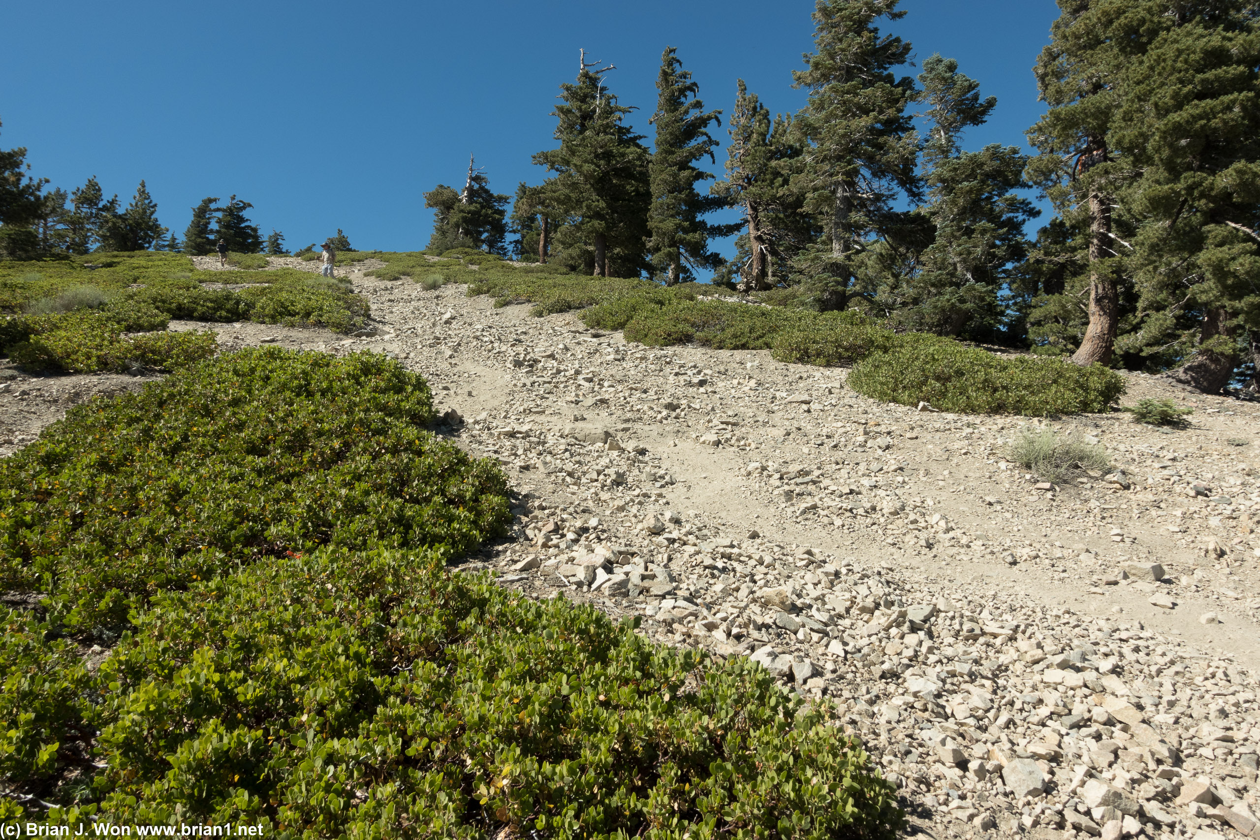
Some very kind guests staying at the ski hut shared their bacon with us (thank you!), then we powered on up to the top. I joined the lead group with BK, GPS said 1.6 miles, ~1850 feet elevation gain, over 1:25 moving time. Signs say 1.5 miles so GPS was pretty accurate, throw in about 35 minutes worth of breaks and actual time to the top was right about 2 hours at an easy pace. Actually had a decent amount of shade for all the breaks all the way up to the final approach, then was 30 minutes straight hiking past the tree line to the top. Waited over an hour at the top as the rest of the group trickled up, BK got so bored he stacked 24 (!) rocks atop each other.
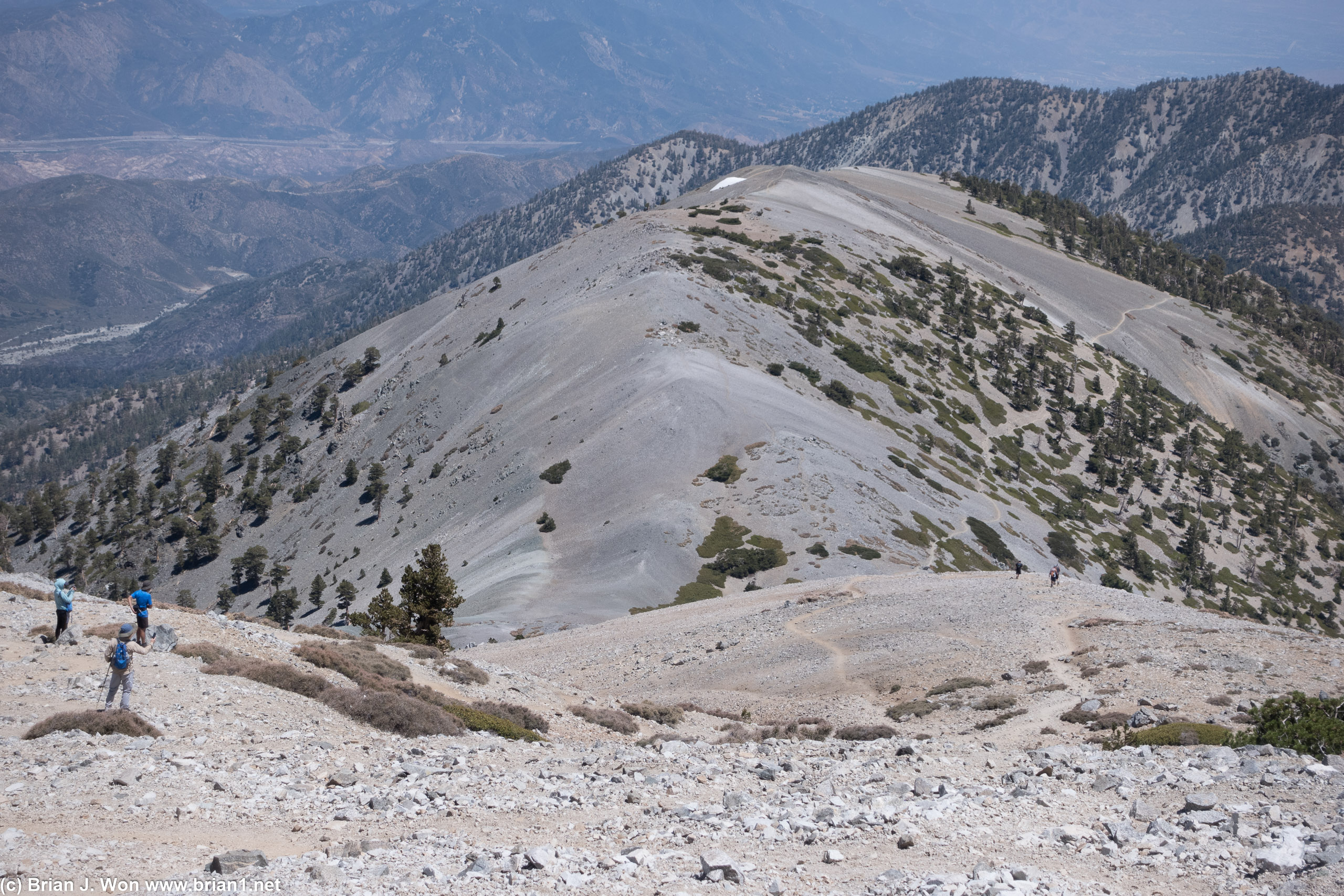
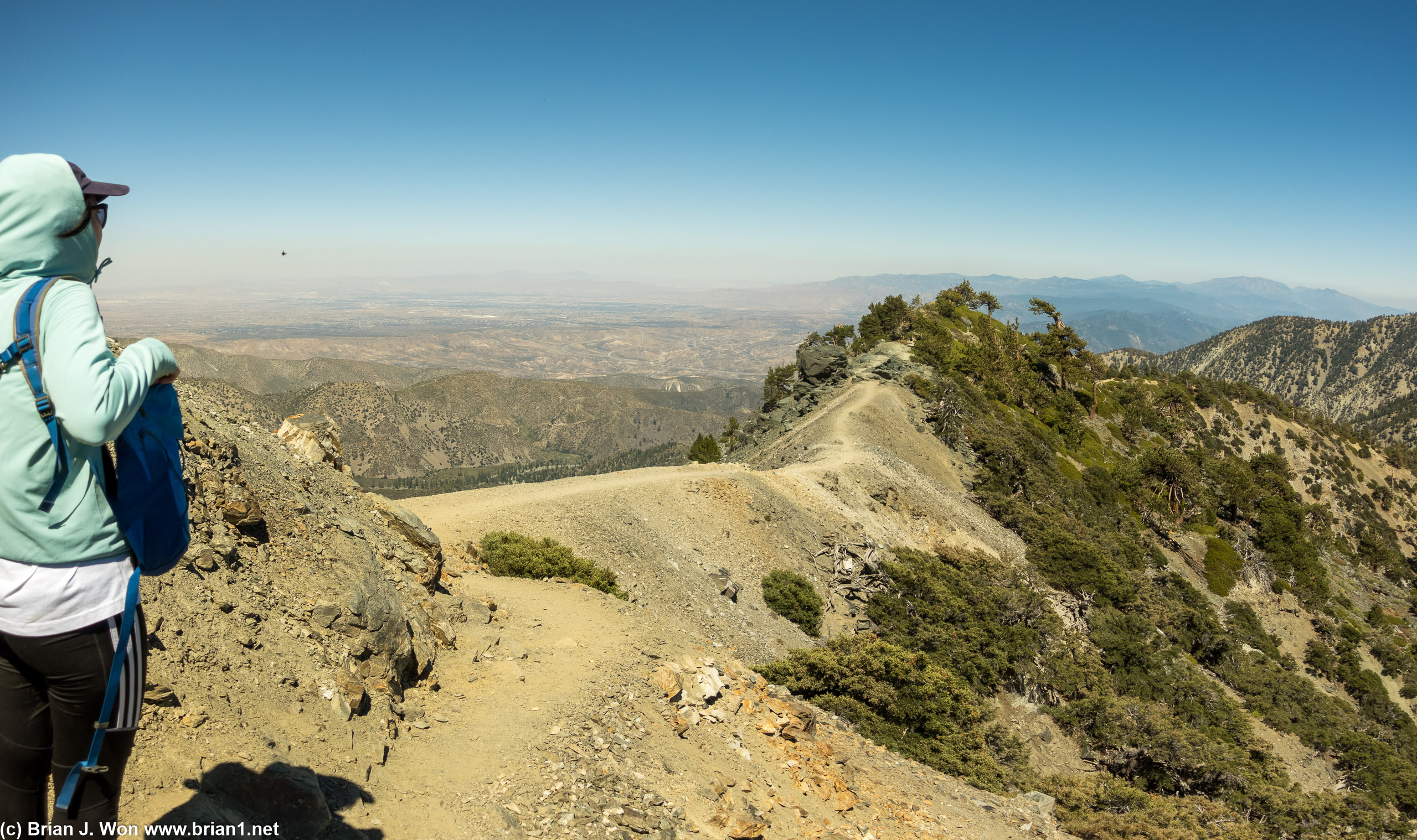
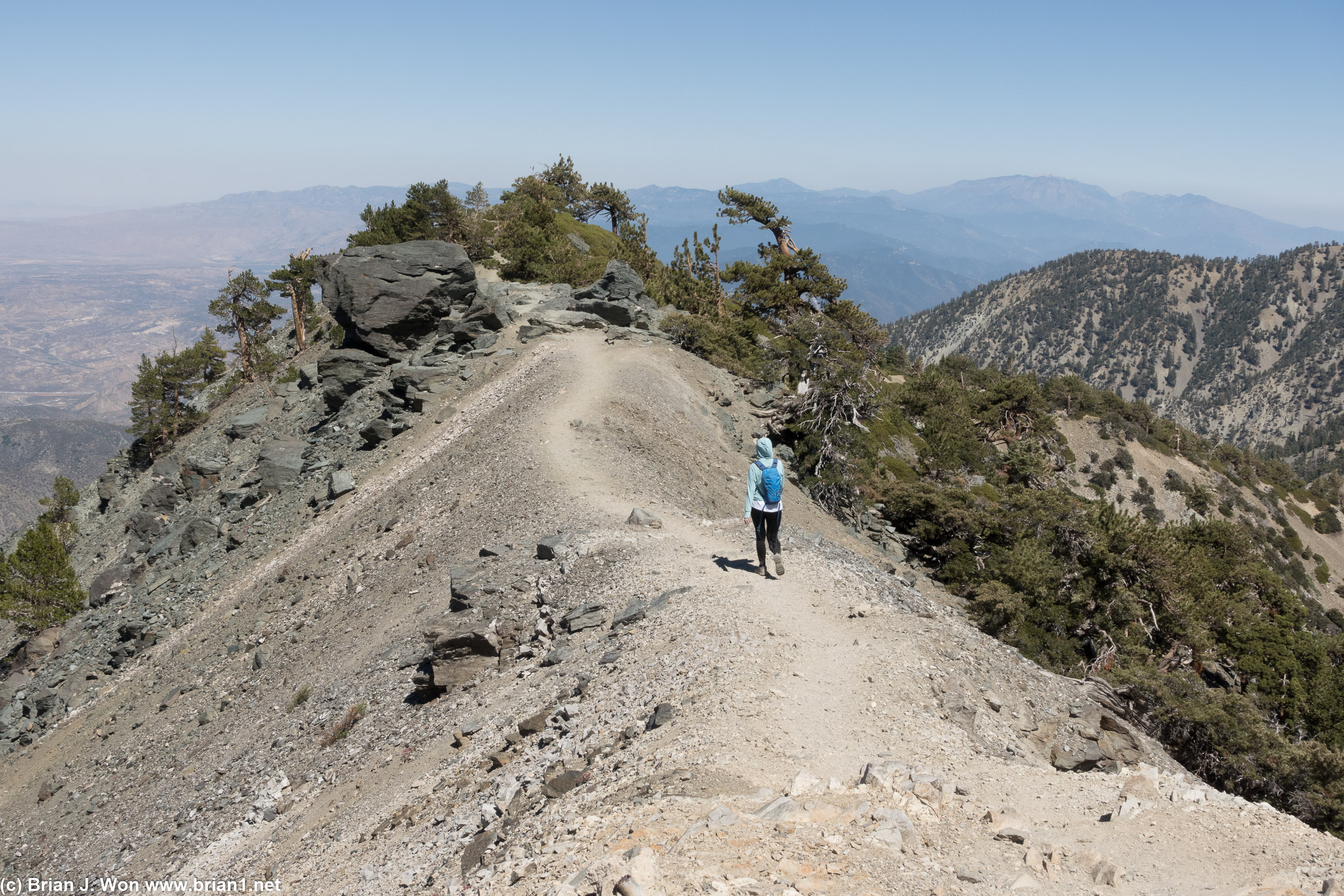
Descending from the 10,064 feet high summit of Mt. Baldy via Devils Backbone was a lot easier than the route up via Baldy Bowl and Manker Flat. Saw multiple large patches of snow at the start of the descent, then had quite a few shady spots as we descended the ridge down. AJ, BK, and Hugo took off down the mountain to the Top of the Notch (aka Mt. Baldy ski resort upper camp), while the rest of us took it a little slower. Lot less breaks were needed on the way down, but we still took a few to soak in the spectacular views. With such good weather, the narrow bits of Devils Backbone were not a big deal at all this trip, and we were doubly able to enjoy the views on the way down.
GPS showed 2.8 miles and just under 2,300 feet of elevation loss, just over 1:20 moving time. Actual time with breaks was just over 1:30, so not bad at all. Rested at the top for a bit, found that I went through exactly 2.5 liters of water, and then enjoyed the ski lift ride down to save our legs. (except for Hugo and Uma-- turns out dogs are no longer allowed on the ski lift, so they had to run down!).
Great to go back to Mt. Baldy after so many years, especially with such good weather for today's hike. Definitely need to do more hill training to counteract the effects of old age! Finally, special thanks to Mike for organizing yet again, and Harold for powering through!